Tour du Mont Blanc (TMB)
The sovereign multi-nation circuit skirting Western Europe's highest dome across 7 glacial valleys.
Route Profile & Terrain Description
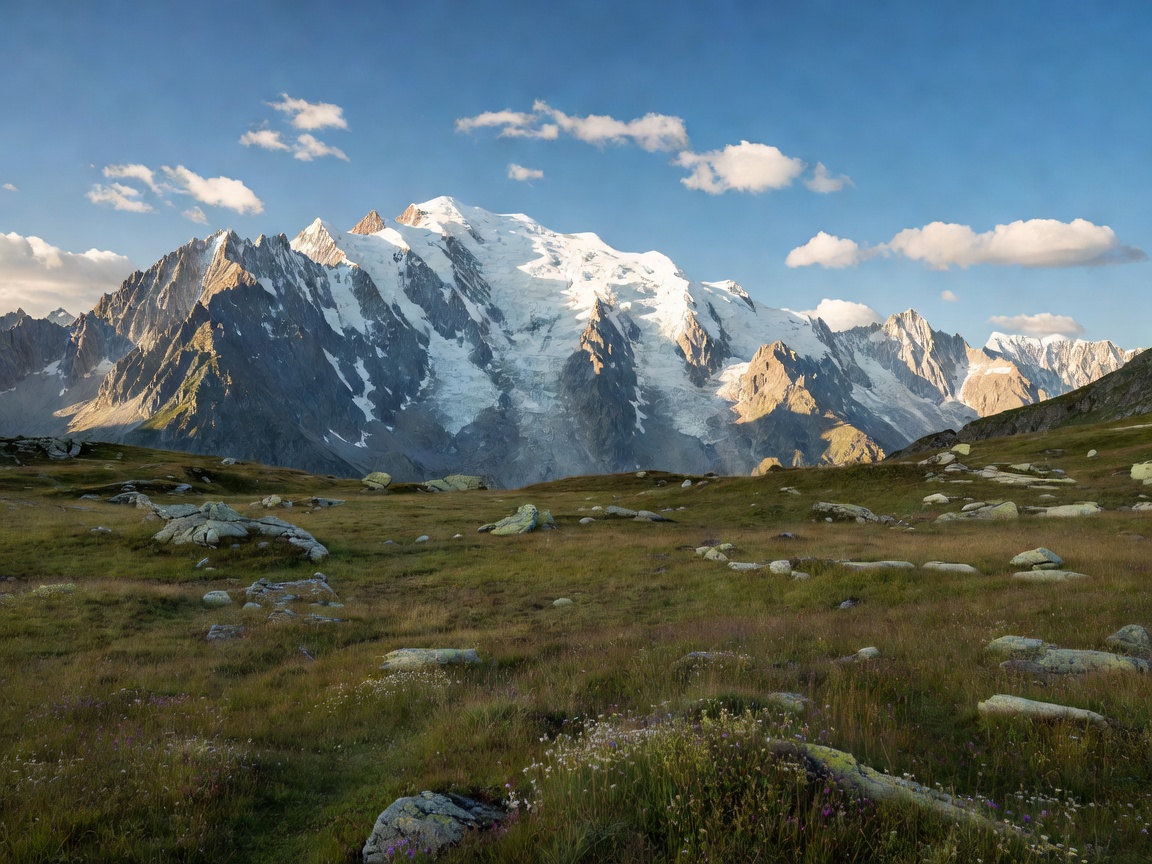
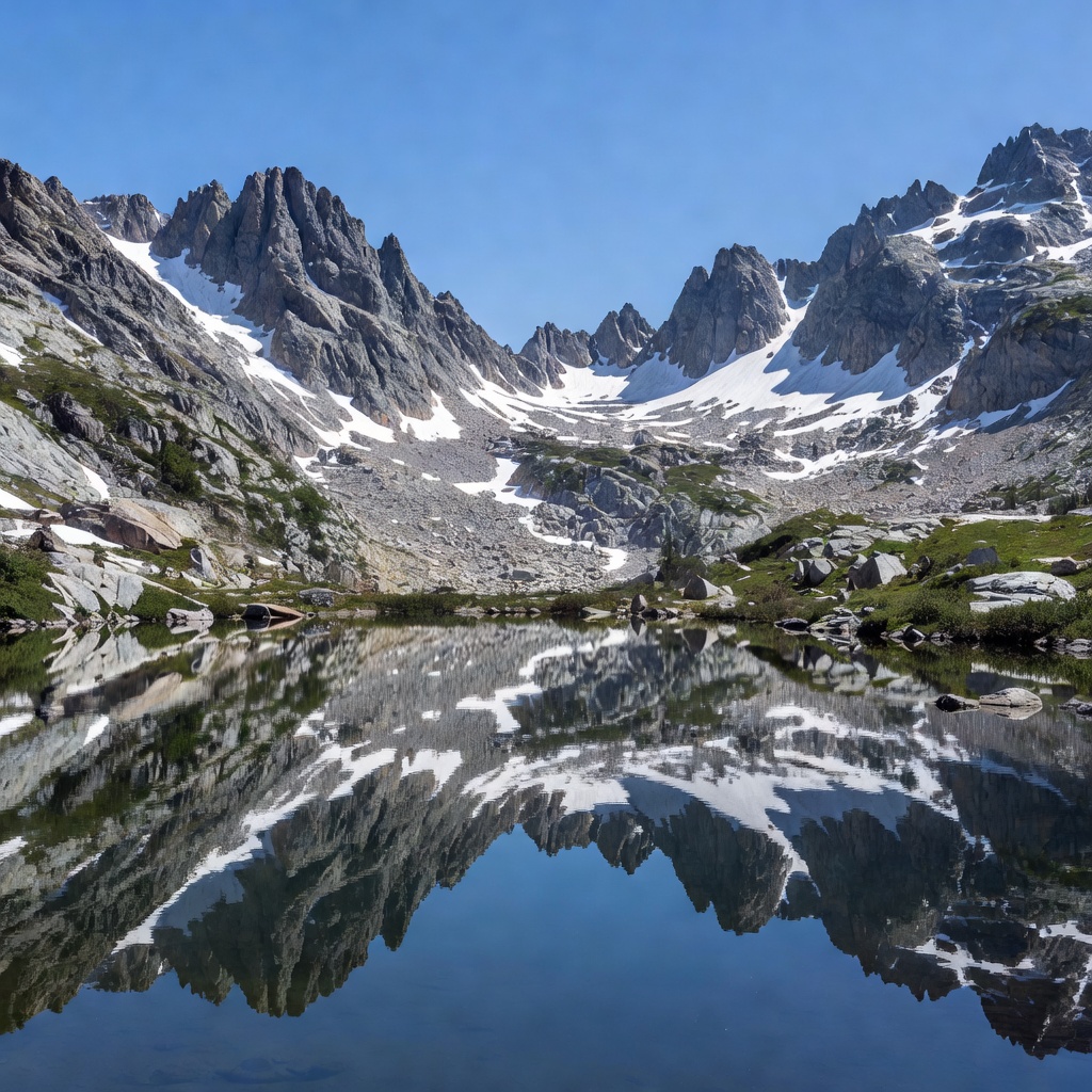
The Tour du Mont Blanc is universally revered as one of the ultimate classic treks on Earth. Circling 170 kilometers around the Mont Blanc massif through French Haute-Savoie, the Italian Aosta Valley, and the Swiss Valais, the journey traverses high mountain passes (cols), subalpine larch forests, roaring glacial streams, and high balcony trails overlooking hanging ice sheets.
Hikers typically undertake the journey anti-clockwise starting from Les Houches or Chamonix in France, ascending Col de Voza, crossing through Refuge de la Croix du Bonhomme, reaching Italy via Col de la Seigne, traversing the steep slopes above Courmayeur, climbing Grand Col Ferret into Switzerland, and returning over Col de Balme.
Field Waymarks & Key Passes
Col de la Seigne
French-Italian frontier pass with expansive views of the Pyramides Calcaires and Glacier du Miage.
Grand Col Ferret
Italian-Swiss border col, offering steep winds and expansive vistas towards the Mont Dolent.
Col de Balme
Gateway returning into the Chamonix Valley with direct head-on views of the Mont Blanc peak.
Refuge Logistics & Local Regulations
Overnight Accommodations: The route is serviced by an exceptional network of staffed mountain refuges (Gîtes d'étape and Rifugi). During high season (July–August), reservations must be secured months in advance through the central reservation association.
Wild Bivouac Restrictions: Strict regulations apply in each jurisdiction. In France, bivouacs are tolerated between 19:00 and 07:00 at high elevation outside nature reserves. In Italy (Val d'Aosta), wild camping is strictly forbidden below 2,500m. In Switzerland, camping regulations vary by municipality with high protections on protected reserves.
Field Notes & Verified Hiker Assessments
“The balcony trail variant through Grand Balcon Sud between Refuge La Flégère and Planpraz gives the finest views of the Bossons glacier. Make sure to pack microspikes if completing the circuit before mid-July as snow bridges often linger on high cols.”
“Did the route in 7 days unsupported. The vertical gain (nearly 10,000 meters) is relentlessly demanding on the knees during descent into Courmayeur. The Italian polenta at Rifugio Bonatti makes every drop of sweat worth it.”